Our Contractor Services
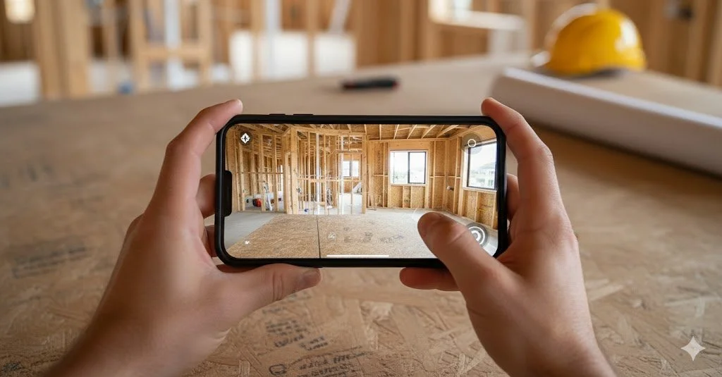
Pre-Drywall Scanning
Regular or as-needed 360° documentation of active job sites, providing a visual record of progress over time. Used by project managers and trades to review work remotely, track sequencing, and reference site conditions without additional site visits.
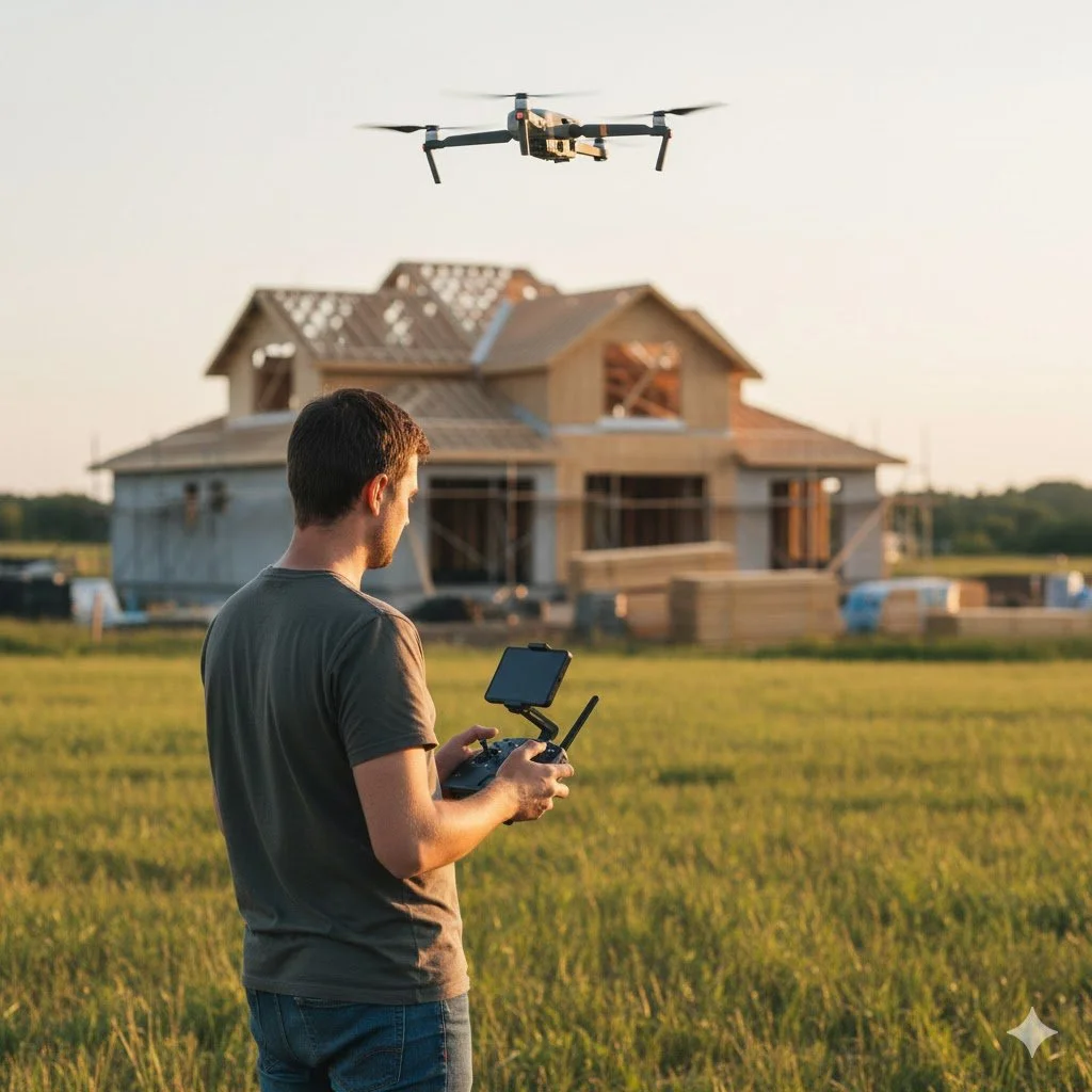
Drone overviews for exterior progress and access
Aerial site overviews showing exterior progress, staging, access points, and overall site conditions. Useful for progress reporting, coordination planning, and reviewing areas that are difficult or unsafe to access from the ground.
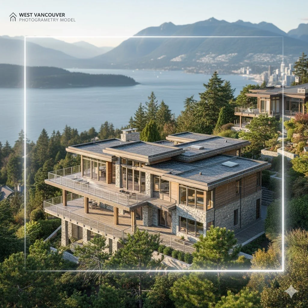
Aerial Photogrammetry
High-resolution aerial captures processed into accurate 2D and 3D models for measurement, planning, and as-built reference. Commonly used for site analysis, volume estimation, layout verification, and documentation throughout the project lifecycle.
Contact us.
jamie.krob@gmail.com
+1 647-302-3400